
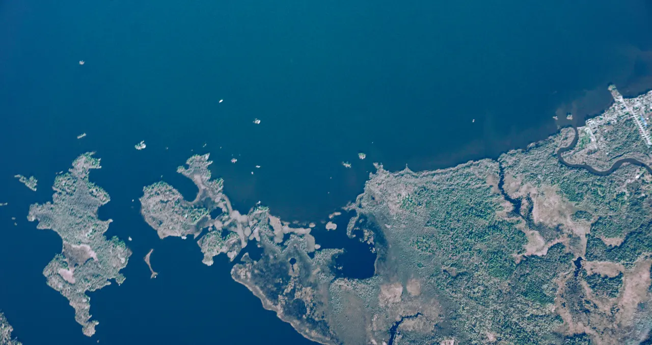
Wildfire monitoring from the stratosphere
The fire moves. The picture needs to keep up.
A satellite pass or an aircraft scan captures a moment, but a fire keeps moving. We're developing StratoHAB, a high-altitude balloon, to stay over a wildfire and keep watching it from the stratosphere with thermal and optical cameras.
Watch the film to see how persistent stratospheric monitoring could support wildfire detection and response.
Plan a MissionLoading video…
The video could not load. Please try again.
Persistent wildfire surveillance from 20 km up
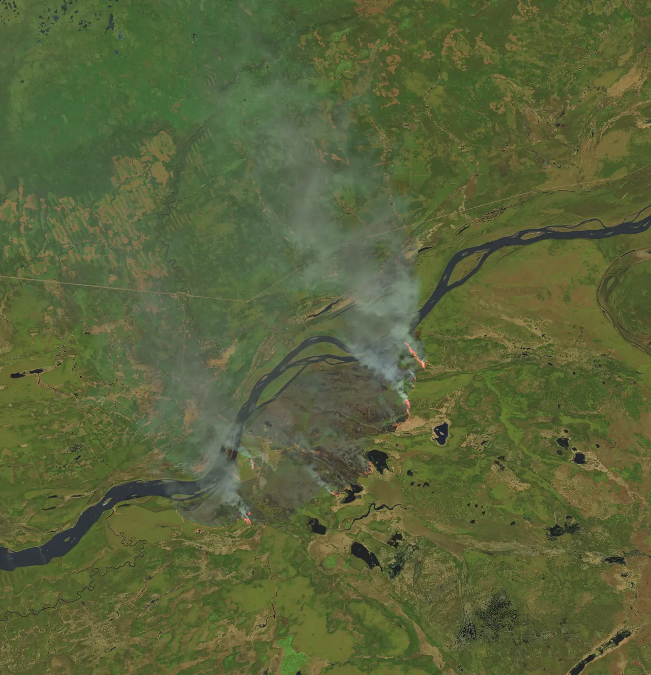
Fire perimeter mapping
Thermal imaging is designed to map where the fire edge is, with regular updates for crews on the ground.
Hotspot detection
A persistent view helps catch new hotspots and spot fires as they appear, day and night.
Input for fire-spread prediction
Observations from above can support the models crews use to predict where a fire will go next.
Above smoke and firefighting aircraft
StratoHAB flies far above firefighting aircraft, so it can watch without adding to busy airspace over the fire.
How StratoHAB is designed to watch a wildfire
- Launch StratoHAB near the fire region
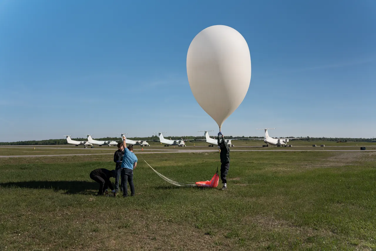
- Climb to 15–25 km, above weather and aircraft

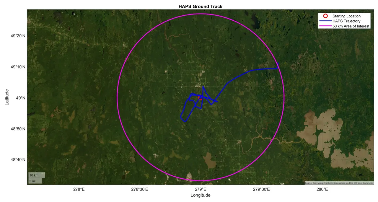
- Ride the winds to stay over the fire
- Watch the fire with thermal and optical cameras
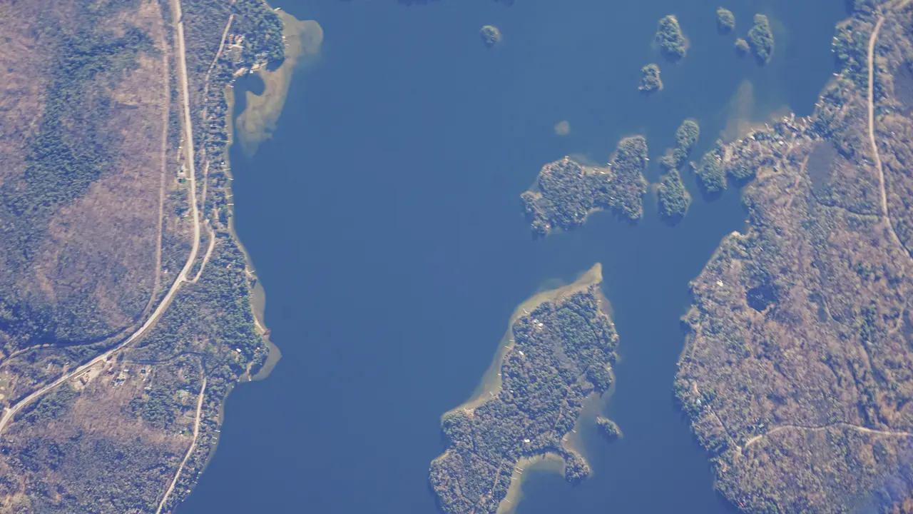
Satellites, aircraft, drones and stratospheric balloons for wildfire monitoring
Wildfire agencies already watch fires from space and from the air. Each view has trade-offs, and a stratospheric platform is meant to fill the gap between them.
Satellites
Cover huge areas, but most imaging satellites pass over a given fire only a few times a day, and those that watch continuously are so far away that detail is limited.
Aircraft and helicopters
Give a detailed view on demand, but flights are limited by fuel, crew hours, weather and smoke, and they share busy airspace over the fire.
Drones
Are flexible and affordable, but most fly low for short periods and cover a small area.
Stratospheric balloon
StratoHAB is designed to stay over a fire for 24+ hours from 15–25 km, with a line of sight of about 500 km, above weather and air traffic.
StratoHAB is not meant to replace satellites or aircraft. It is designed to add a persistent view that keeps watching between satellite passes and when aircraft can't fly.
Early traction, real flights
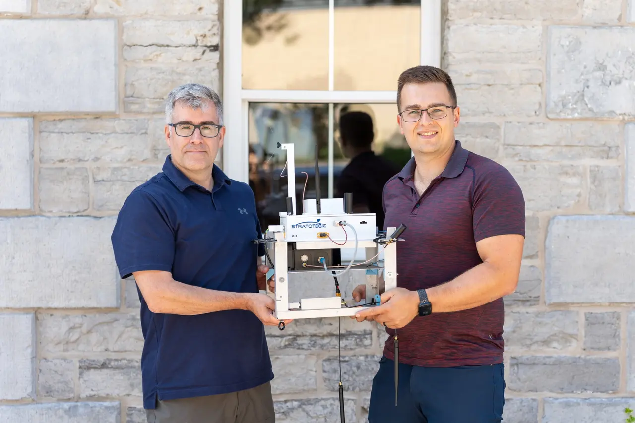
Five stratospheric flights, with payloads from three paying customers.
- Flights to the stratosphere
- 5
- Paying customers
- 3Western University, York University and DISC
- Letters of intent
- 4CAE, Canadian Coast Guard, SOPFEU and DRDC
Wildfire monitoring questions
How can a stratospheric balloon help monitor wildfires?
It can stay over a fire area for many hours, above weather and firefighting aircraft, and keep watching as the fire changes. That helps crews follow the perimeter and spot new hotspots.
How large an area can it monitor?
From 20 km up, the line of sight reaches about 500 km, so one platform can watch a wide area of forest.
Can it detect wildfires at night?
StratoHAB is designed to carry thermal and optical cameras for day and night monitoring.
How long can it stay over a fire?
StratoHAB is designed for 24 or more hours per flight. Onboard navigation uses changing winds at different altitudes to keep the balloon over the mission area.