
Applications
Civilian Applications
Wildfire & community resilience
The fire moves. The picture needs to keep up.
High-altitude observations for wildfire response, astronomy and environmental research.
Loading video…
The video could not load. Please try again.
01
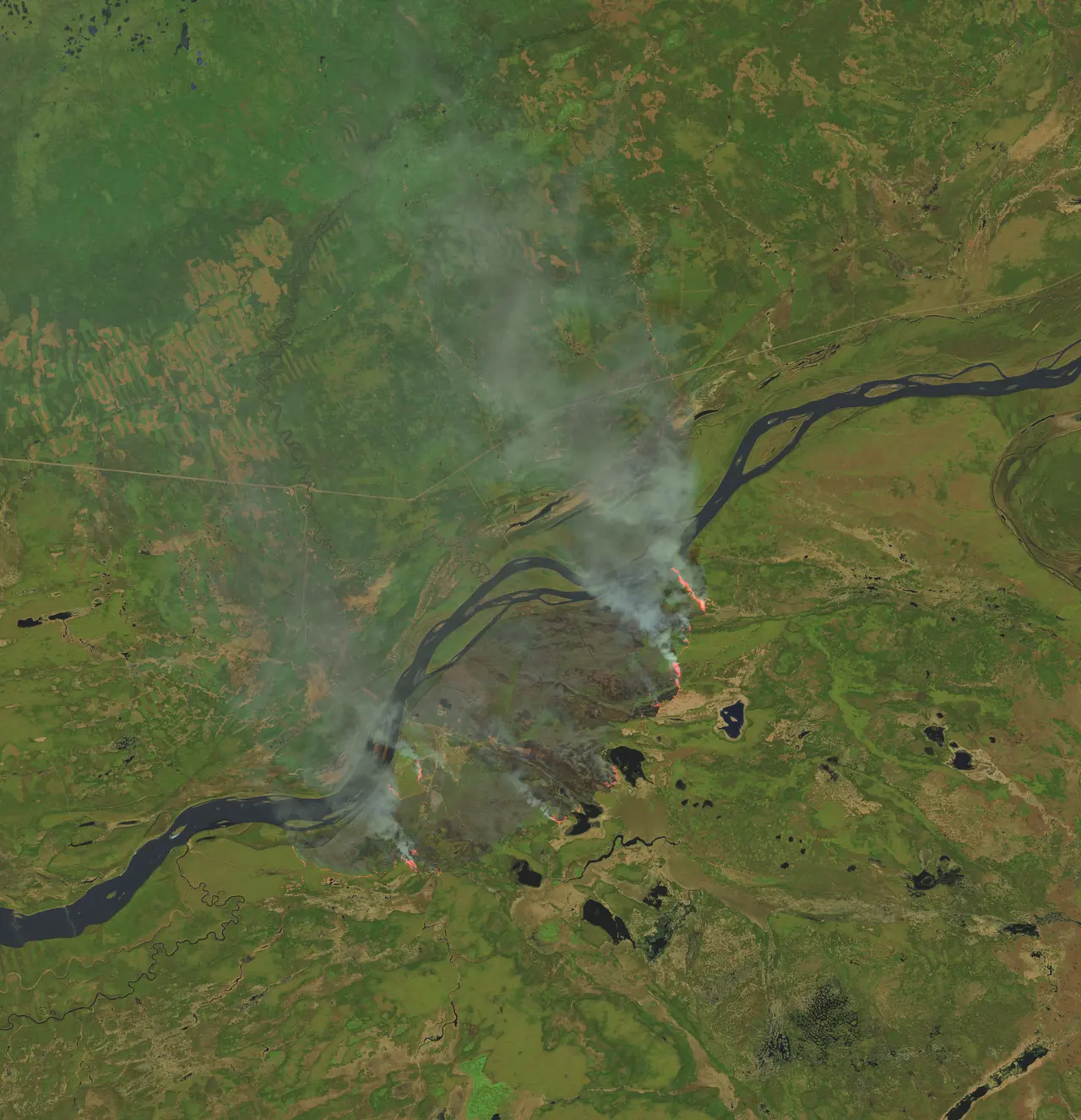
Wildfire Monitoring
We're developing StratoHAB to follow fire perimeters, identify new hotspots and provide observations for fire-spread predictions from above firefighting aircraft.
The thermal-imaging payload remains under development, supported by preliminary simulations.
More on wildfire monitoring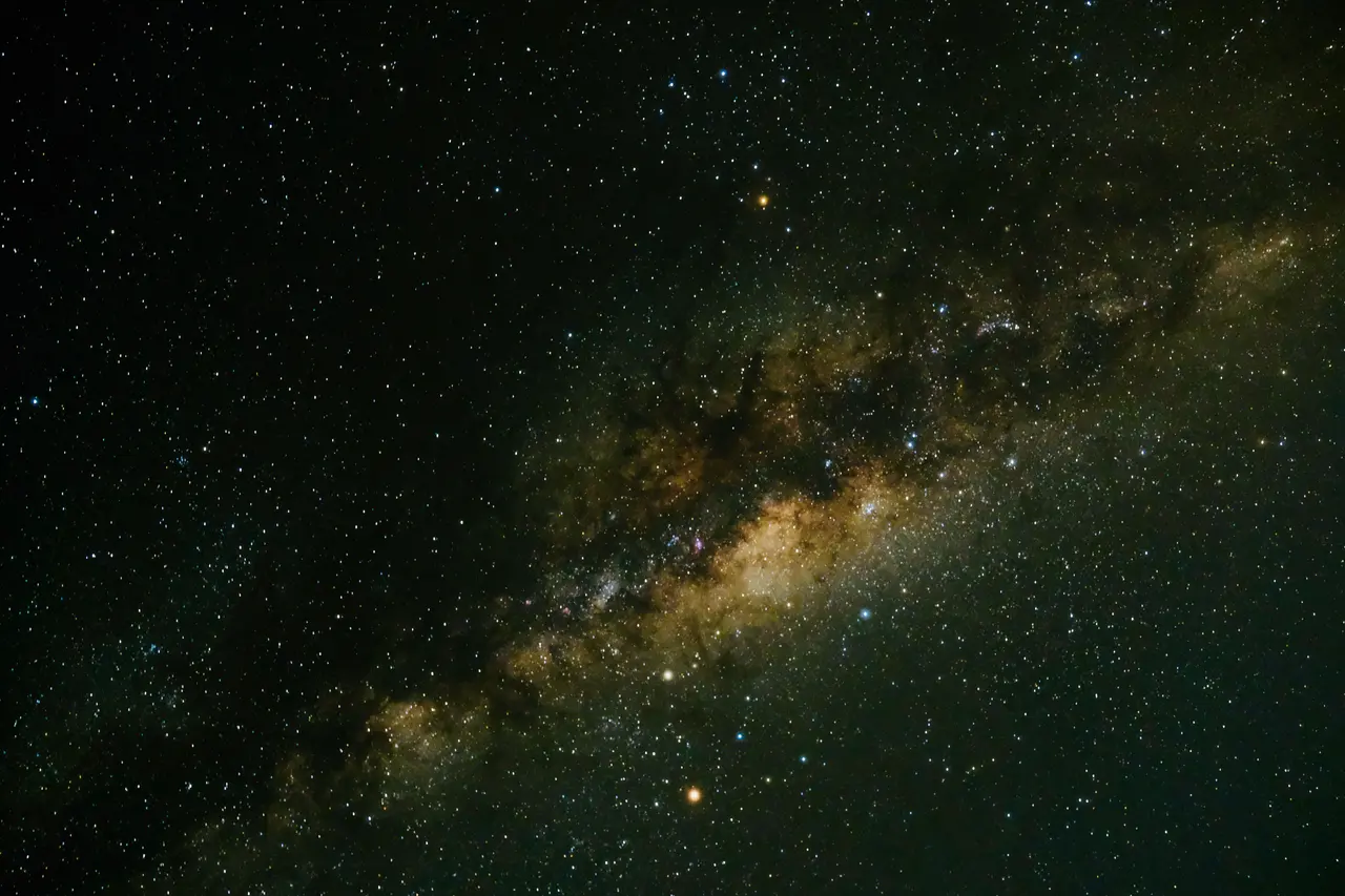
02
Astronomy Missions
Carry research instruments above much of the atmosphere for astronomical observations.
03
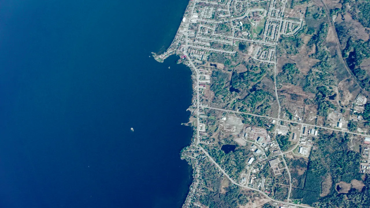
Environmental Monitoring
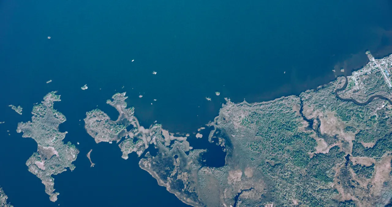
Monitor forests, shorelines and ice, or collect atmospheric measurements with a dedicated instrument payload.