
Stratospheric surveillance and ISR
A clearer picture of Canada’s remote regions
Canada’s Arctic, coastlines and northern approaches are vast, and much of them is watched only between satellite passes and patrol flights. We're developing StratoHAB, a high-altitude balloon, to stay over an area of interest and keep watching from the stratosphere.
StratoHAB is designed for intelligence, surveillance and reconnaissance (ISR), with Canadian-built sensing and communications, operating at 15–25 km above weather and air traffic.
Plan a Mission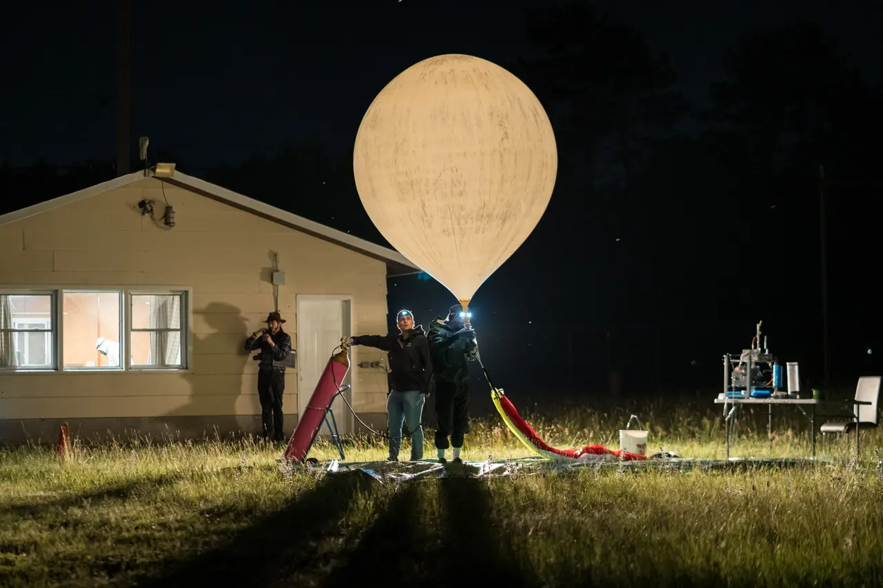
Persistent surveillance for Arctic, maritime and communications missions
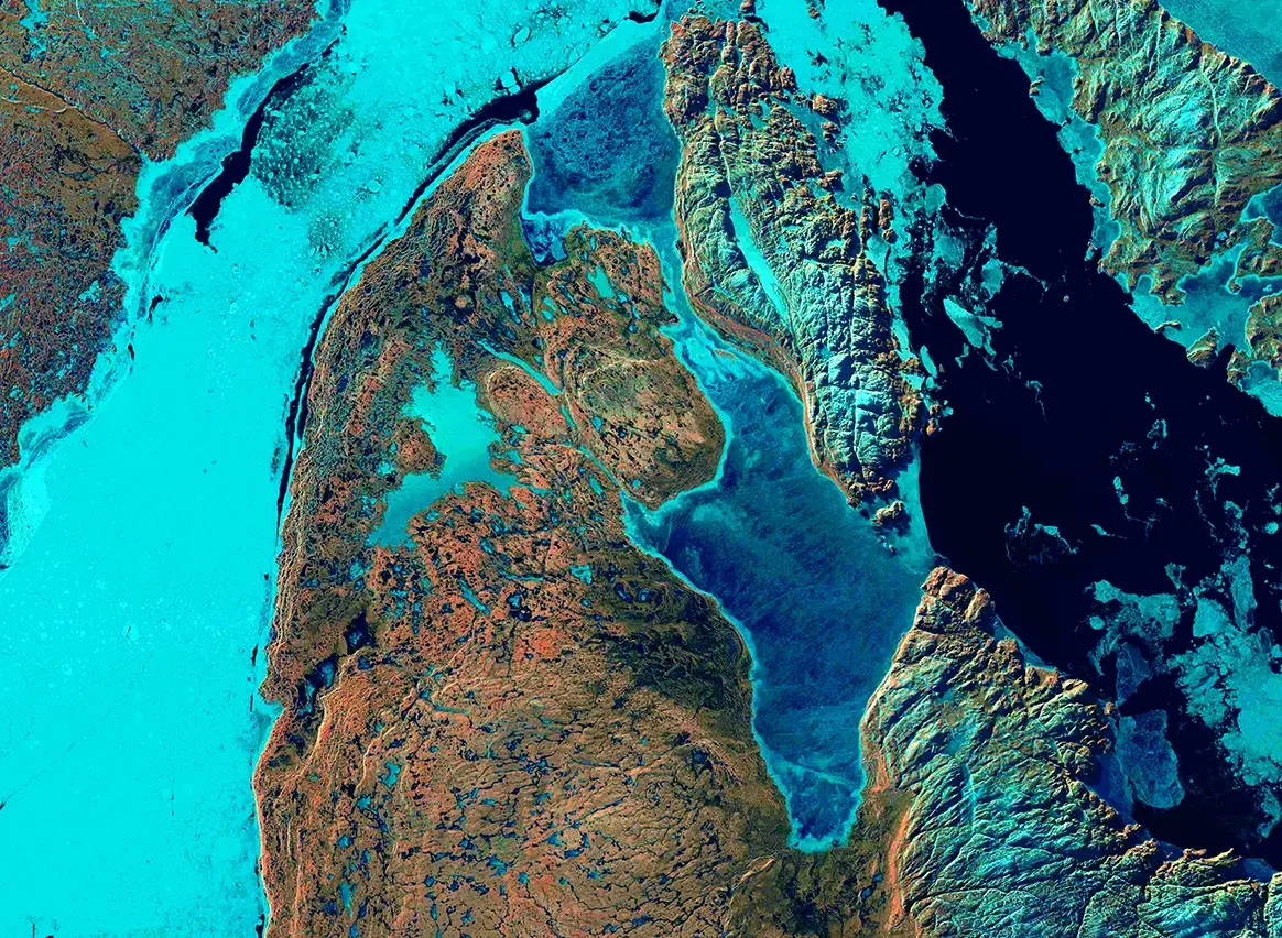
Arctic surveillance and sovereignty
Cameras and sensors for observing Canada's northern approaches, complementing existing patrols and observation systems.
Maritime surveillance
Vessel observation over coastlines and open water to support maritime patrol planning and search and rescue.
Communications relay
An airborne communications relay for teams operating beyond reliable ground coverage.
Wide-area awareness
From 20 km up, the line of sight reaches about 500 km, so one platform can watch a wide area from a single position.
How StratoHAB is designed to watch an area
- Launch StratoHAB, day or night
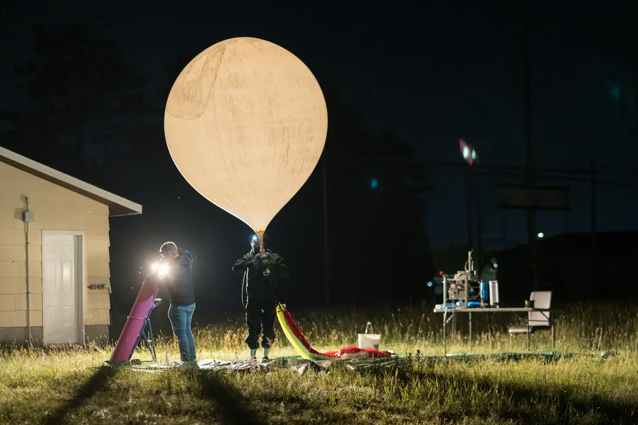
- Climb to 15–25 km, above weather and air traffic

- Ride the winds to stay over the area of interest
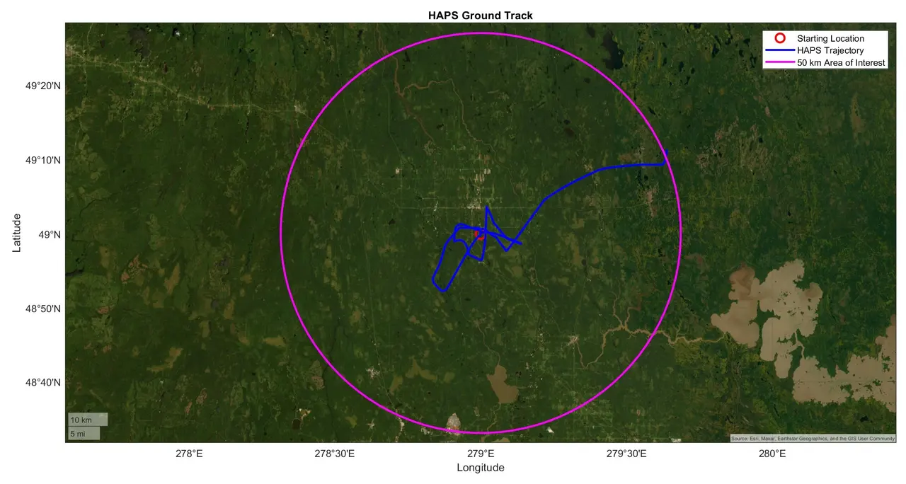
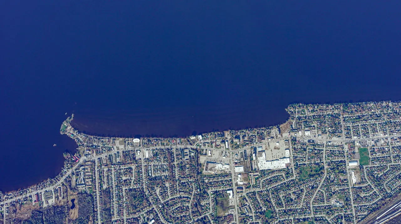
- Observe with thermal and optical cameras and relay data over satellite communications
Satellites, patrol aircraft, drones and stratospheric balloons for surveillance
Surveillance over remote regions already draws on satellites, aircraft and drones. Each has trade-offs, and a stratospheric platform is meant to fill the gaps between them.
Satellites
Cover huge areas, but most imaging satellites pass over a given area only a few times a day, and their orbits are predictable.
Patrol aircraft
Give a detailed view where they fly, but each sortie is limited by fuel, crew hours and weather, and remote regions are far from base.
Drones
Are flexible, but most have limited range and endurance for the distances involved in Arctic and maritime patrol.
Stratospheric balloon
StratoHAB is designed to stay over an area for 24+ hours from 15–25 km, with a line of sight of about 500 km, above weather and air traffic.
StratoHAB is not meant to replace satellites or patrol aircraft. It is designed to add a persistent view that keeps watching between satellite passes and patrol flights.
Early traction, real flights
Five stratospheric flights, with payloads from three paying customers.
- Flights to the stratosphere
- 5
- Paying customers
- 3Western University, York University and DISC
- Letters of intent
- 4CAE, Canadian Coast Guard, SOPFEU and DRDC
Stratospheric surveillance questions
What is stratospheric ISR?
Stratospheric intelligence, surveillance and reconnaissance (ISR) uses platforms flying in the stratosphere, about 20 km up, to watch an area for long periods. They fly above weather and air traffic and see much farther than ground or low-altitude sensors.
How large an area can it observe?
From 20 km up, the line of sight reaches about 500 km.
How long can it stay over an area?
StratoHAB is designed for 24 or more hours per flight. Onboard navigation uses changing winds at different altitudes to keep the balloon over the mission area.
Can it observe at night?
StratoHAB is designed to carry thermal and optical cameras for day and night.
How does it send data back?
StratoHAB is designed with satellite communications, so it can stay connected to the ground team beyond the range of ground stations.
Planning a surveillance or communications mission?
Talk to us about how StratoHAB could support your mission.
Plan a Mission